|
Interesting places in Turkey |
|||
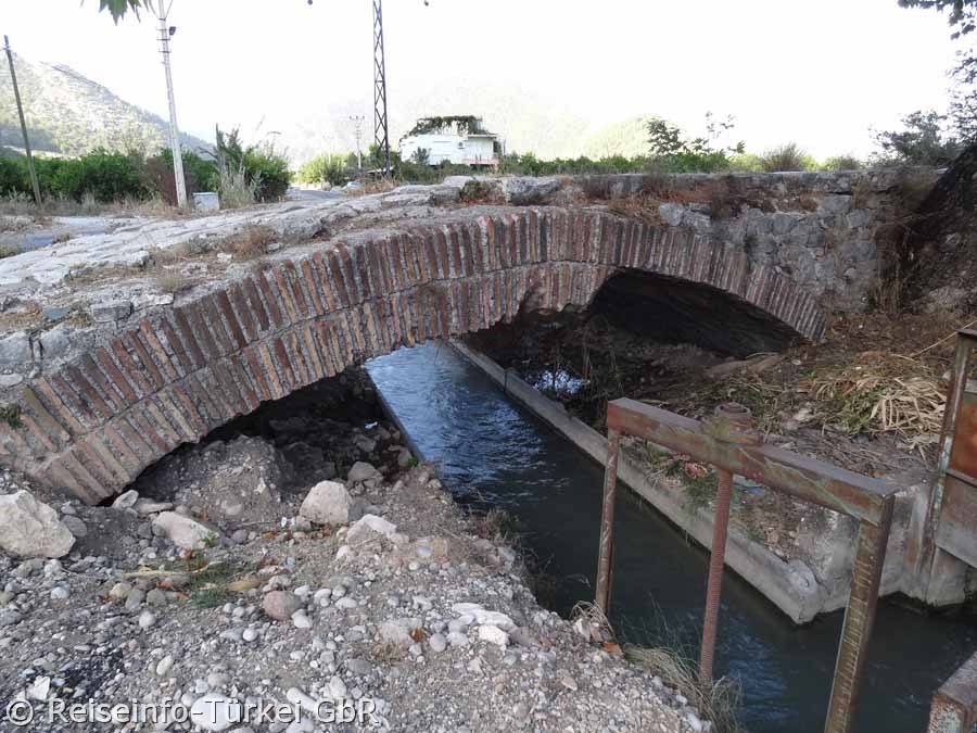
| Ancient, 360 m long segmental arch bridge |
|
||
| Roman bridge near Limyra | |||
| 26 segment arches, today mostly buried | |||
|
|
|||
 |
|
||
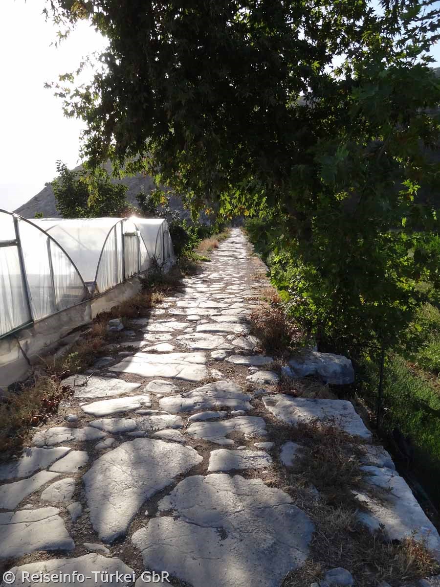
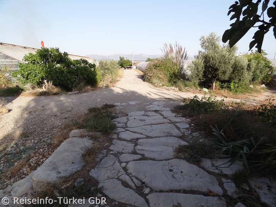
| The western entrance to the bridge | |||
|
The Roman bridge near Limyra (Turkish Kırk Göz Kemeri) is one of the oldest segmental arch bridges in the world. The 360 m long stone bridge crosses the river near the ancient city of Limyra in Lycia Alakır Çayı Its 26 segmental arches are mostly buried today. They have an arrow ratio of 5.3 to 6.4 to 1, which gives the structure an extremely flat profile and was only regained in the late Middle Ages (for example at Ponte Vecchio) at 6.5 to 1. |
|||
 |
|||
| The sparse remains of the in ancient times almost 300 meters wide Alakır Çayı | |||
|
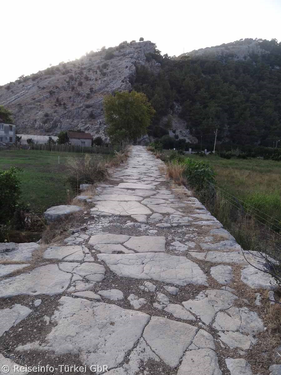
The ancient name of the river is not known. The local topography is determined by the foothills of the Toçak mountain massif Dağı, which here merge into the shallow alluvial deposits of the Finike Bay. In this transition area, the bridge was built just above the place where the narrow river valley opens to the wide estuary and where floods hinder the crossing during the rainy season. |
|||
|
|
|||
| viewing direction west | |||
|
The ancient road system in Lycia was hardly developed. While the north-south traffic mainly ran over the few river valleys, the west-east routes, unlike today, mostly led over the mountain heights. The route from Limyra via the Alakır Çayı to neighbouring Pamphylia to Attaleia probably played a special role, since both regions together formed the province Lycia et Pamphylia until the 4th century AD. |
|||
|
|
|||
| viewing direction west | |||
|
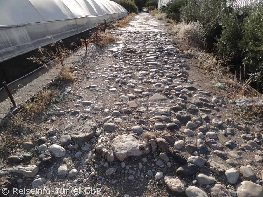
The first and so far only scientific survey of the bridge was carried out by Wolfgang Wurster and Joachim Ganzert on two consecutive days in September 1973 and was supplemented by further site visits in the following three years. The results were published in the DAI's Archäologischer Anzeiger in 1978, expressly also to draw attention to the increasing threat to the bridge, which had remained almost intact until then: "Recently, citrus plantations have been established in this fertile alluvial land; greenhouses for early vegetables are now being built in the east of the bridge. Due to the beginning of intensive agriculture in the area, the bridge is very much endangered. The residents take stone material from the still intact bridge surface; bulldozers for the construction of irrigation channels tear open the bridge body and crush the stone pavement with their caterpillar tracks". |
|||
 |
|||
| Near the eastern end of the bridge | |||
|
|
|||
|
The chronological classification of the bridge near Limyra is complicated by its exceptional character within the Roman building tradition. In contrast to the massive and towering semi-circular arch bridges, which were typical of Roman construction techniques, the bridge near Limyra with its flattened segmental arches offers a significantly lower and more elongated appearance, so that at first a late dating of the structure to around the time of Justinian I (6th century) was suggested. On the other hand, however, since the mixed technique used here was already used for the nearby aqueduct of Aspendos in the 3rd century AD and the Romans were quite familiar with segmental arch bridges, an earlier date of origin at the end of the 2nd or the 3rd century would also be possible. This early dating seems more probable from today's point of view, since seven other segmental arch bridges from the Roman period have been documented in the meantime. |
|||
|
|
|||
| The eastern end of the bridge | |||
|
|
|||
|
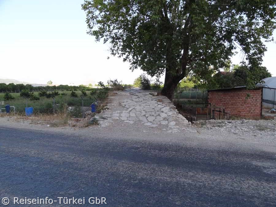
The bridge crosses the Alakır Çayı 3.2 km east of the ruins of Limyra (measuring point: theatre)
and 3.8 km north of the present sea coast near the modern road from Turunçova to Kumluca. |
|||
|
Sadly, this very special bridge is decaying and is not appreciated by the archaeologists. |
|||